Inchybridge – Castleview Loop Walk
Discover the hidden beauty of West Cork on a tranquil walk along the Argideen River, where history and nature meet in perfect harmony.
- Sunny Days
- |
- Cloudy Days
- |
- Family Friendly
- |
- Dog Friendly
- |
- Free to visit


Inchybridge – Castleview Loop Walk
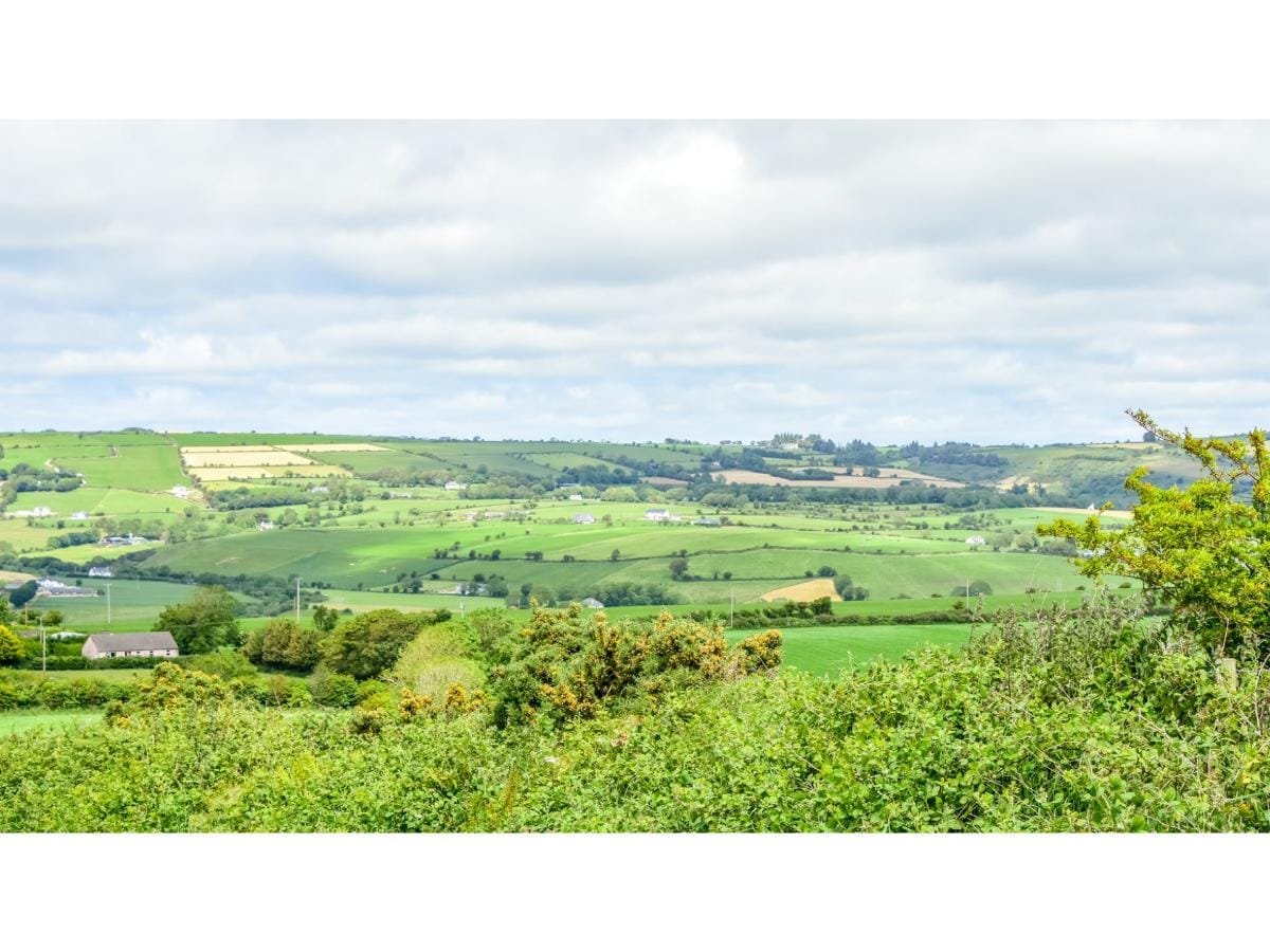
Yesterday’s exploration took me on this walk – a beautiful day to enjoy the wonderful scenery around Timoleague.
Thanks so much again to Helen Crowley for providing this guided tour and sharing her historical knowledge of the area. Enjoy the walk.
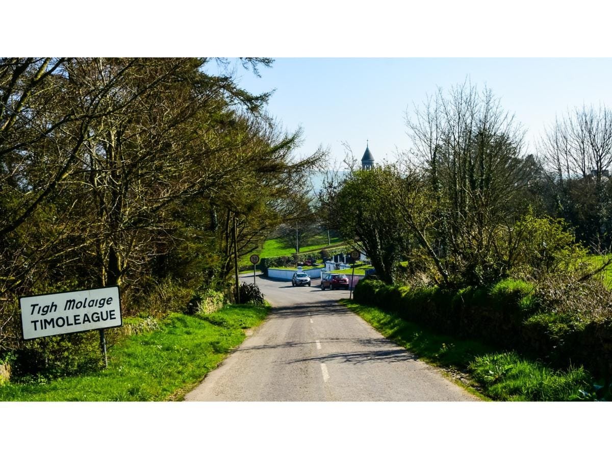
You can start this walk at Timoleague village if you are happy to walk approximately 18 kilometres, but for the purpose of this walk description we will start at Inchybridge (literal translation-island of the bridge). This is the second last bridge crossing the Argideen before it enters the estuary in Timoleague. The walk is about 12 kilometres. This route is also suitable for cycling, and can be enjoyed by the whole family, without too many hills.
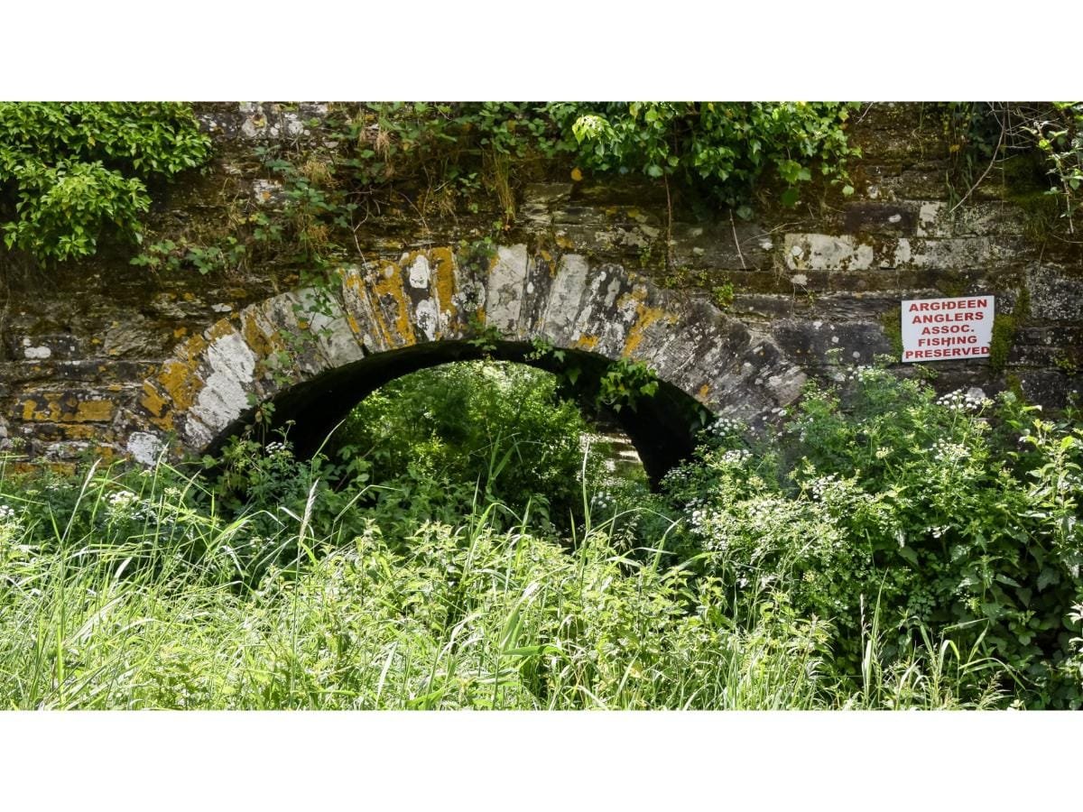
Parking is limited so maybe park near the Anglers hut at the northern side of the bridge. Take your time to admire this beautiful bridge structure and note how the water does not flow under all its arches. Is it, I wonder, how the river has narrowed, or was it an engineering structure to support the bridge itself?
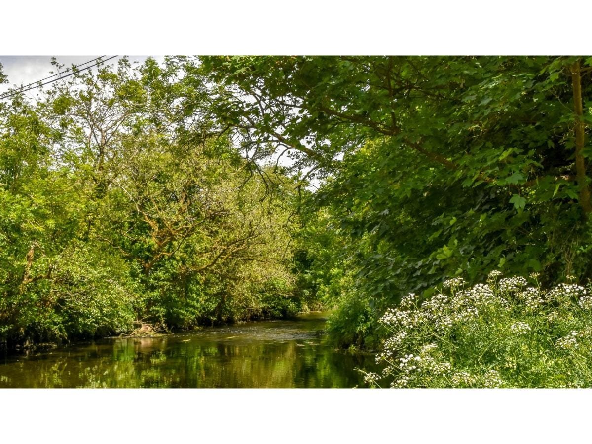
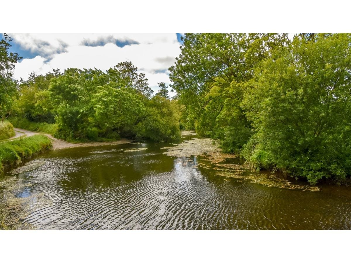
The Ballinscarthy – Timoleague railway line, which began operating in 1890, crossed over the river a little further up (the bridge is now no longer there). It crossed past the railway cottage on your right-hand side, running alongside the banks of the Argideen to Timoleague and onto Courtmacsherry. The translation of Argideen is “little silver” and as you progress along this walk and catch glimpses of the river, you can see how apt the name is.
Having crossed over the bridge, take a right. On your right-hand side ahead of you, you will see the Inchybridge branch of Barryroe Co-Op. The latter opened on 1st August 1925 and the former in 1938. In the last part of the 18th century there was a grain mill operating near here with wheat and flour being exported through the nearby port in Courtmacsherry.
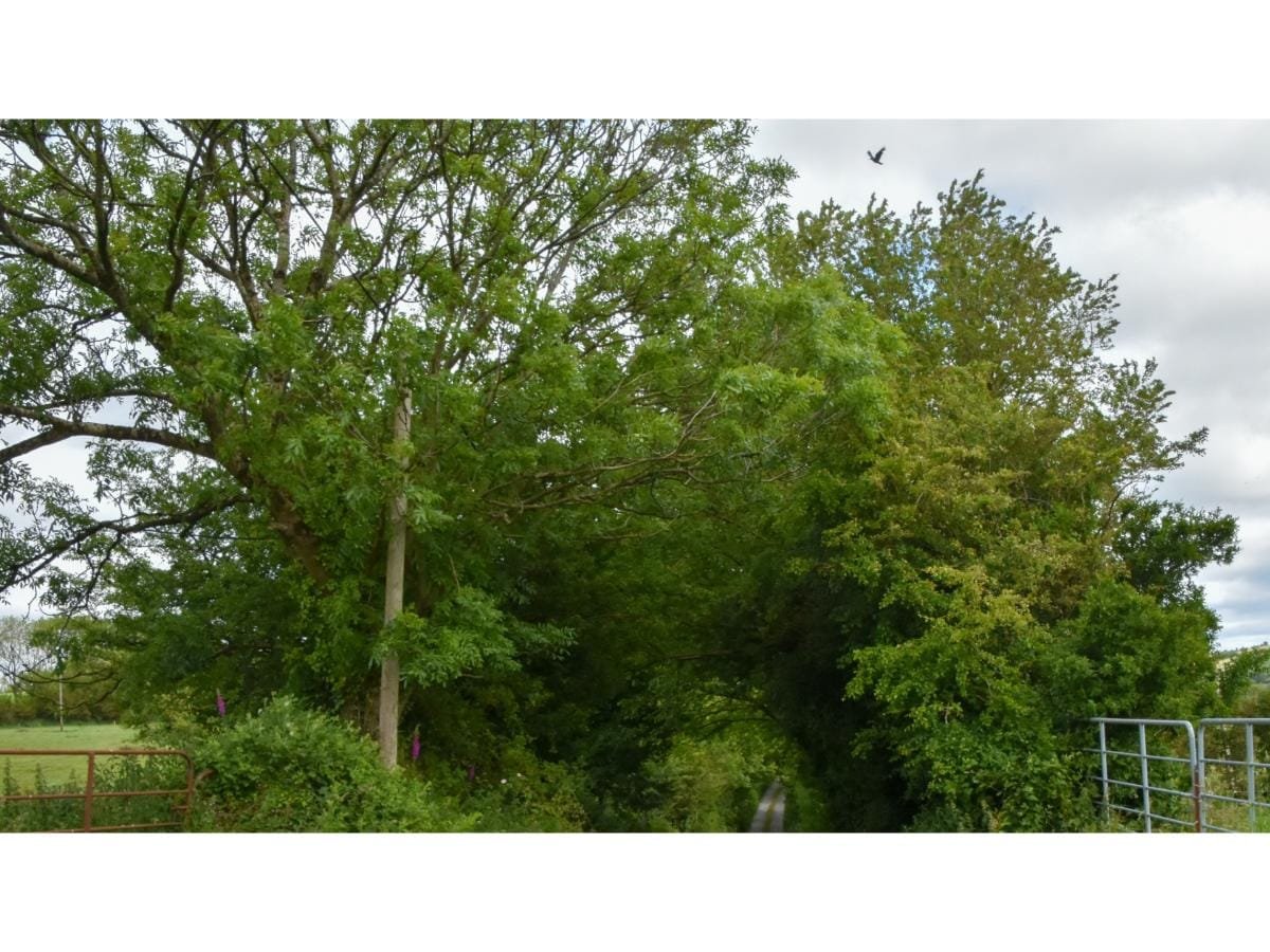
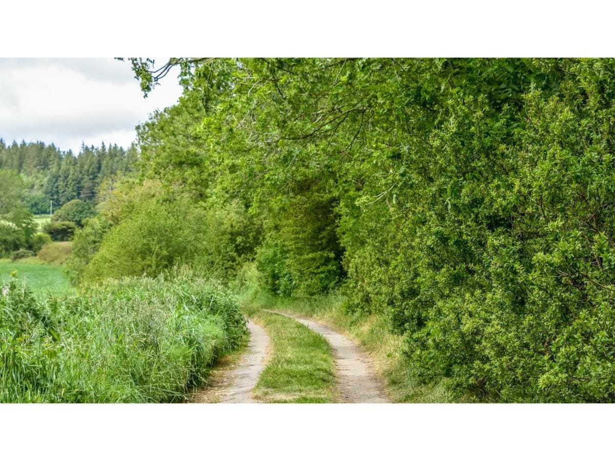
We take a left turn, keeping an eye out for the little red man on a signpost. After a slight incline, we take a right at the Y junction. At the next junction we head straight on and enter a lovely stretch of shady road, under the Kilavarrig hill. You are now in the valley of the aforementioned townland. Kill tells us that at some point there was a church in this area. Was Varrig a local saint or has it been lost in translation over the centuries?
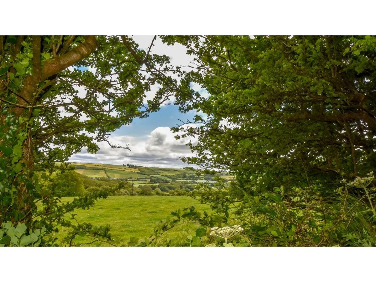
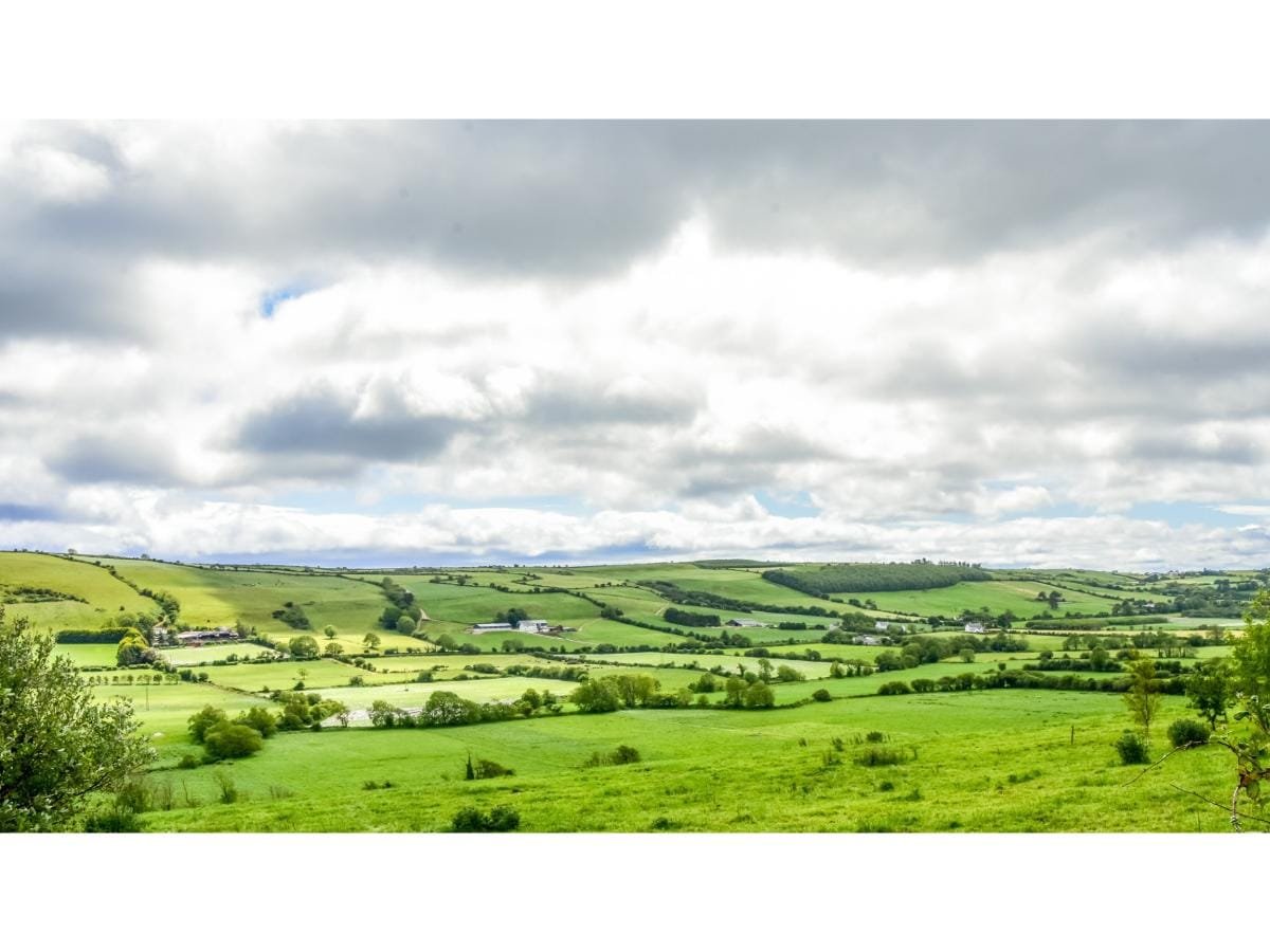
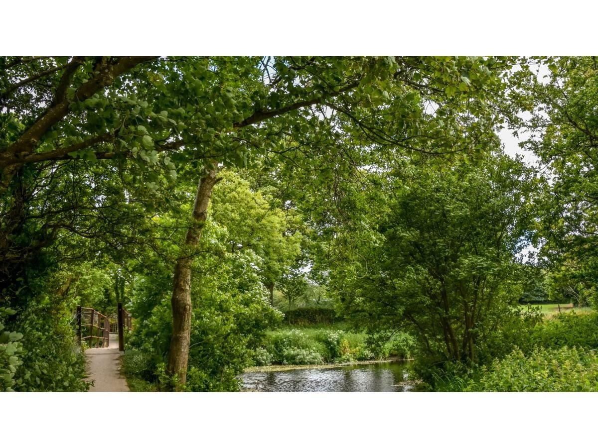
The Argideen river runs below you, and a wide expanse of land lies on each side of its bank. Stop anywhere along this section of road and look up to your left. Ancient roads in Ireland hugged the tops of hills as far as possible. This is the Clonakilty – Kinsale road, which had started at Tobairin road, then out through Cahergal, Darrara, Gallane, Lackanalooha, Ballinroher, and from where you are looking, Carhoo and Kilavarrig. It crossed the river at Inchybridge, climbed the cliff at the other side and then on through Burrane. Timoleague village was connected with this road through Carhoo and Ardmore.
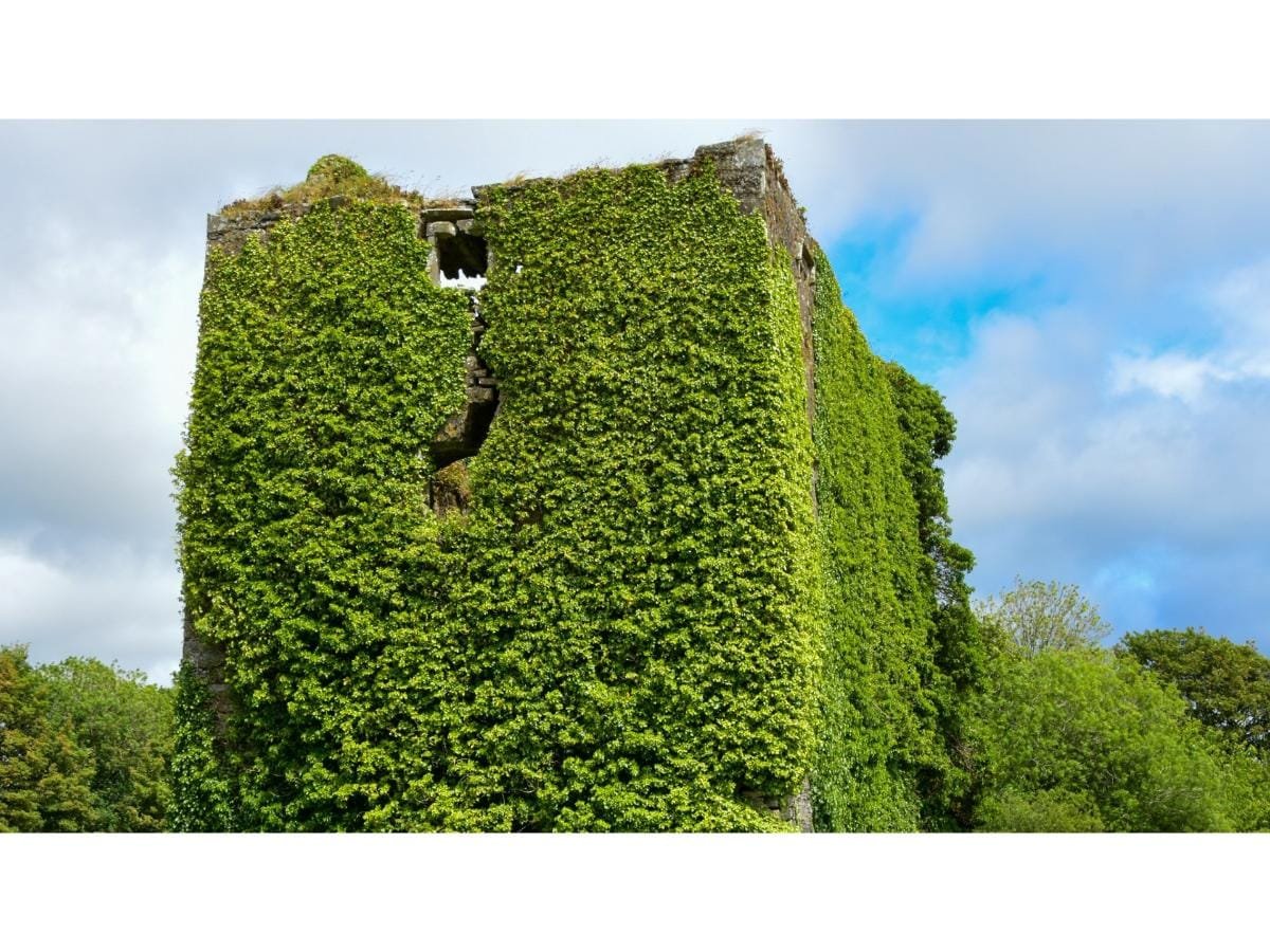
After approximately 4 kilometres Ballinroher Castle comes into view. (Ballinroher – Ford mouth of the missile/ charge/ attack). This castle belonged to the McCarthy Cruimeens, who were a branch of the McCarthy Reaghs of Kilbrittain castle. Ballinroher Castle, also known as Castleview Castle was built in the late 16th or early 17th century as a guard tower over the only pass between the town of Bandon and the southwest. Local stories claim hidden treasure was buried in a field adjacent to the castle, and in the 1970’s, due to a cave-in, part of the road revealed an underground tunnel or cavern.
Put your back to the castle and in the field facing you will see a small circular mound adjacent to a stone wall with a number of mature trees growing around it. This is a disused burial site. It is thought that such sites were not only the burial sites of unbaptised children, but also members of society who were thought unsuitable for burial in consecrated ground.
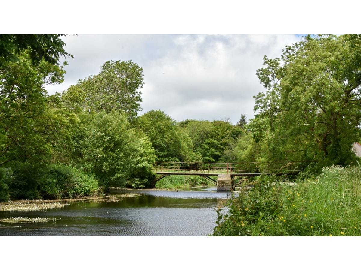
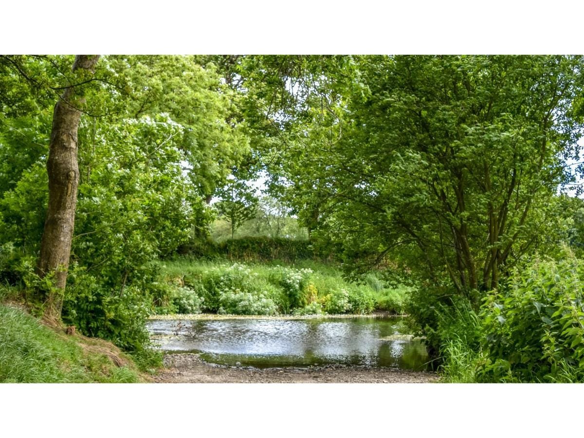
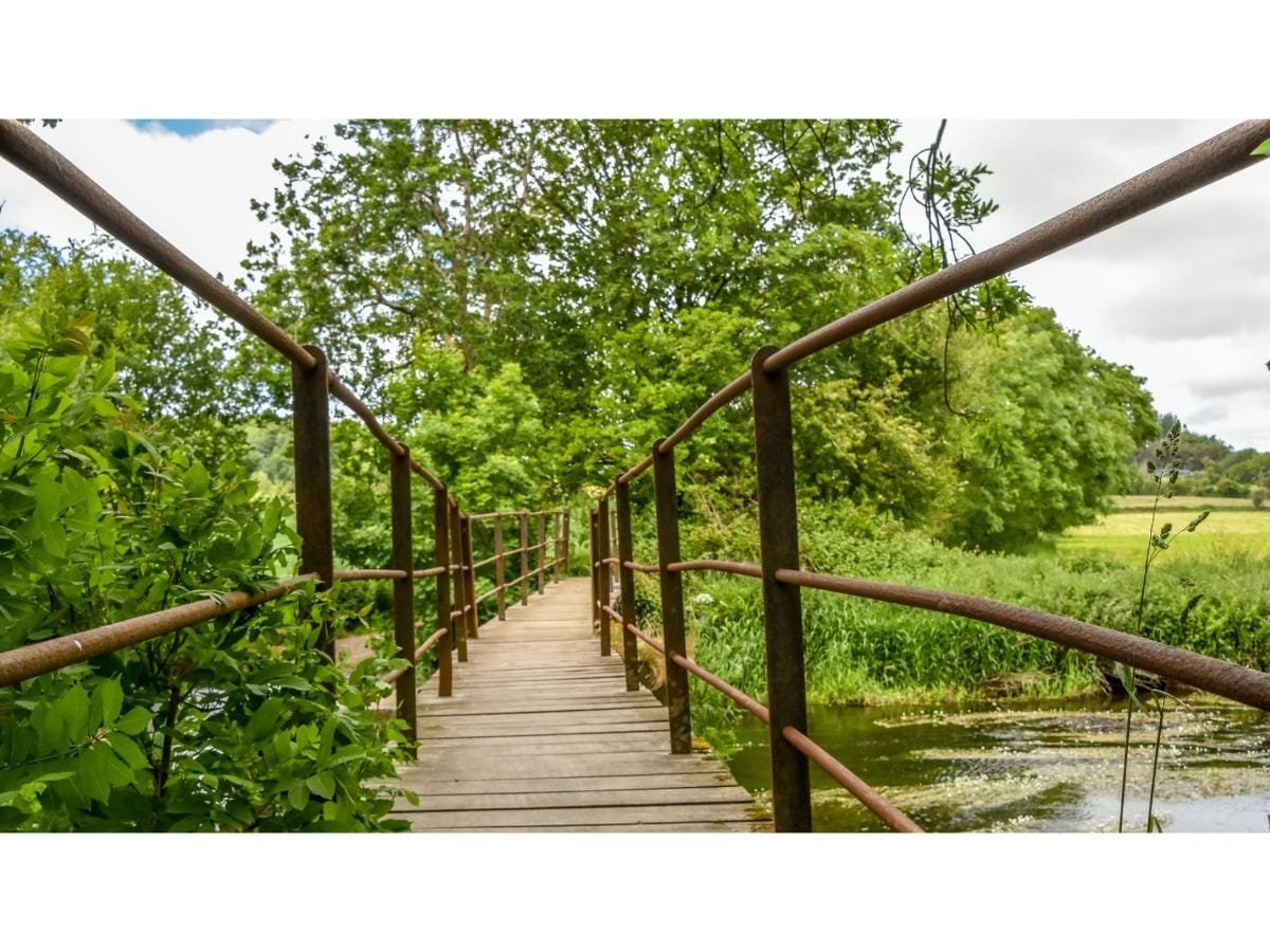
At the T junction, we turn right and leave the road, heading down a little laneway to our right. The Argideen river is before you. If the weather is right you might even take a paddle.
The footbridge is a very simple but effective structure. When crossing over it, stop and take your time to look at the lovely fauna and nature at its very best. Near here is Castleview mills which was the home of a famous eviction in 1886. For further information you can Google “The Siege at Castleview Mills”.
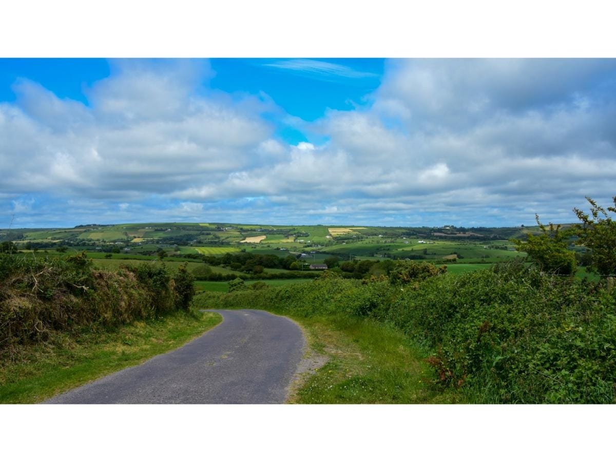
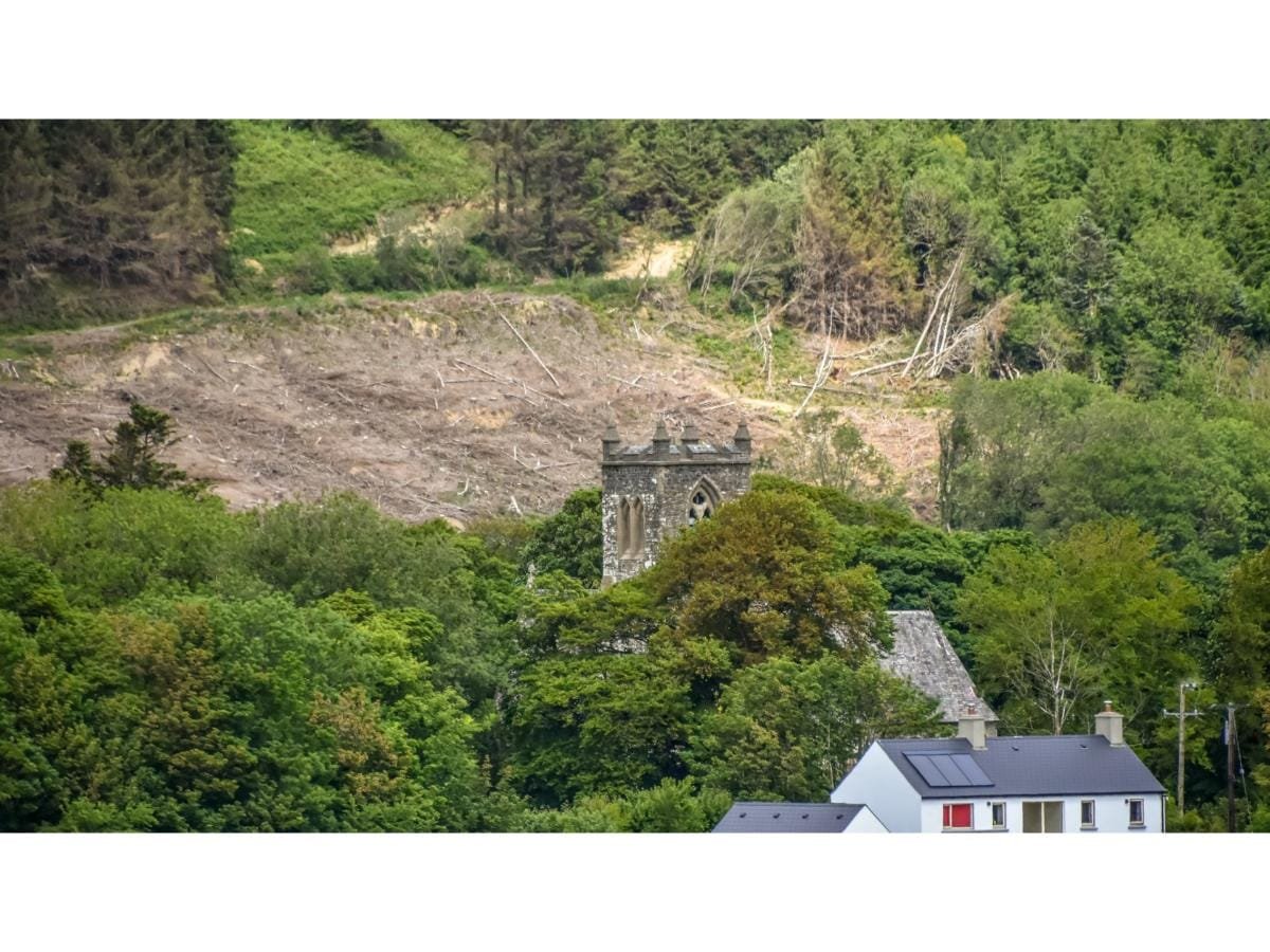
After crossing over the footbridge, we head up a lovely boreen and we are in the townland of Carrig – Rock. At the south side of this townland there is Gortnakilly Fort, and there was at one time corn mills in this area. After a slight incline we take a right and head back along another beautiful shaded road. This is rural Ireland at its loveliest – trees, hedgegrows, fields, hills, river, and tranquillity. When you come to where you swing to the right around a corner, (2 story house nearby) stop and take a look over the ditch, you are looking over at Mounteen and down below you, you will see the tower of Kilmalooda church.
A church building on this site was in ruin in 1693. A new church was built around the year 1793, but this in turn was replaced by the present building erected by William Bence Jones of Lisselane as a memorial to this family in 1858. Again, another breath-taking stretch of road, and we are in Reacarrigeen, heading on for Kilmalooda, translating the Church of Malooda. The Catholic Church in nearby Clogagh is called the church St Malooda. When you get a gate or gap along this stretch of road look south west and you will see where you were walking on the other side of the Argideen river. Coming onto the Kilmalloda/ Kilavarrig road, you descend a hill and you are passing Kilmalooda house, built 1790 and the former home of the Beamish family.
Across from the entrance to the house you will see Clogagh graveyard, wherein there is a ruin of a “religious house” going back to the 16th century. There is no access to the graveyard from here. We come to what is locally known as the Red Bridge, and take this opportunity to look over the walls of the bridge to view what is underneath. We follow the road to the left and this road runs parallel to the river. We are heading back towards Inchybridge and if it is before 5.30pm any day of the week other than Sunday, call into the creamery and treat yourself to an ice cream or a cool drink, you deserve it.
Before you head back over the bridge to your car, and if time permits, take a walk into the angling area on your right-hand side and walk along some of the pathways. If you stay quiet, you just might see a heron perched on the riverbank. If not, view the beautiful monument of a heron near the entrance and note this lovely area is dedicated to Johnny and Sheila Murphy who lived across the road.
Safe journey home and I hope you enjoyed your few hours in this lovely part of West Cork.
How to find us
Contact Details