Timoleague Barry Hall Cloughgriffin Ballinroher Walk
Embark on a scenic journey through history and nature with the Timoleague – Barry’s Hall Walk, where stunning landscapes and ancient landmarks await.
- Sunny Days
- |
- Cloudy Days
- |
- Family Friendly
- |
- Dog Friendly
- |
- Free to visit

Timoleague Barry Hall Cloughgriffin Ballinroher Walk
We begin our walk from Timoleague Community Centre, passing Timoleague National School with the original building dating back to 1885 with many extensions since then. Centra will be on our right and we head alongside the estuary of the Argideen on the Barryroe Road. Be careful along this road, listening for oncoming traffic as the road is twisty and narrow and busy with lorries, vans etc.
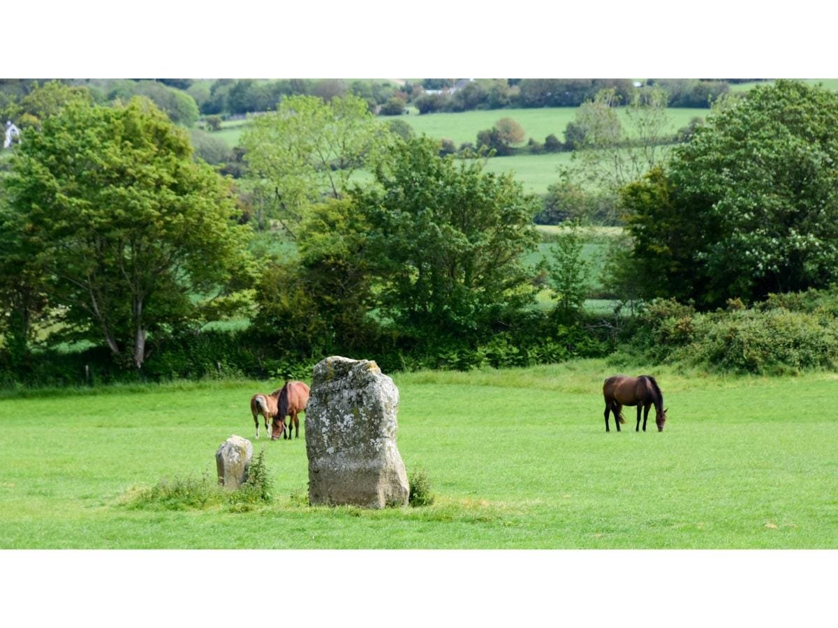
We pass below the grain store of Barryroe co-op and we head straight at the next junction and on our right will be Borreen na Tobar (the well road), which would take you to Our Ladys Well situated in Timoleague community field. Staying on this lovely leafy road, there is a slight incline and to our left you will see four standing stones. They could have been placed there and used for ritual worship at seasonal times eg New Years, pagan Festivals, etc.
There is a large dwelling house on your left in Barry’s Hall, partly built in about 1550. In 1748 the main front was added by the Hon David John Barry (brother of the Earl of Barrymore). Timothy Deasy, a wealthy smuggler, leased the house from the Barrys in 1781 and was one of a number of people who leased the property. The lodge opposite the avenue gates is unusual in design.
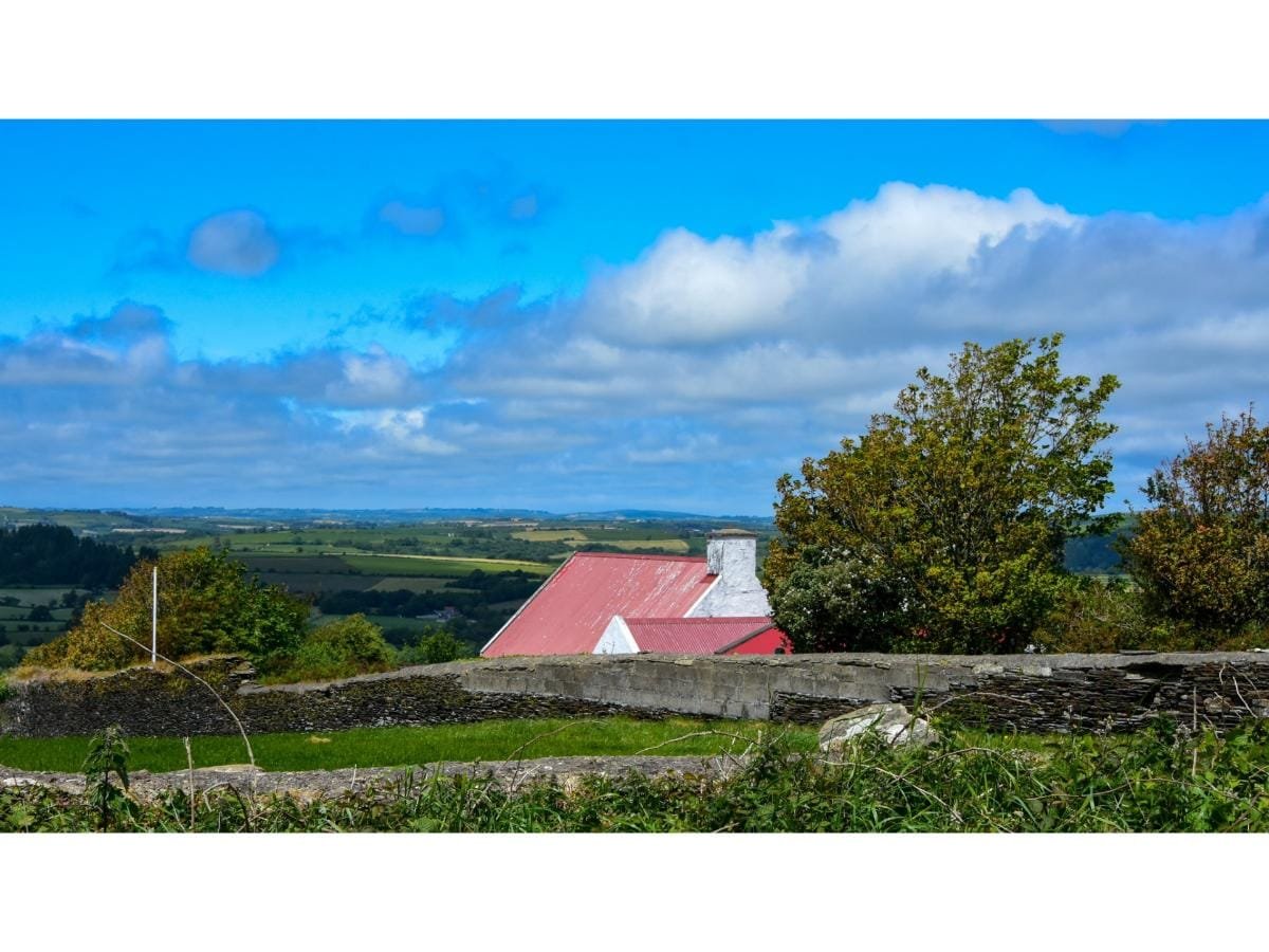
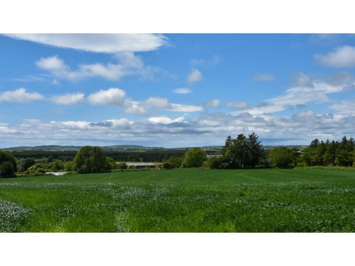
The last coachman who lived there was Jack Damery who went to Canada with his parents and family in 1918. We climb a little further and the road straightens out with lovely views to the right of the townlands of Carhue, Lettercollum, Ballinroher and on your left Aghmainster, Ahafore, Grange Beg and Grange more.
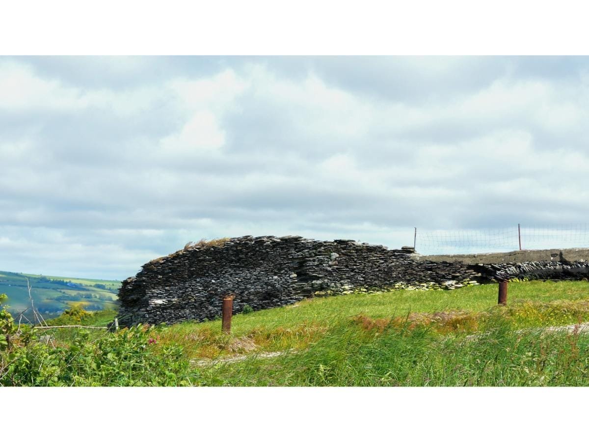
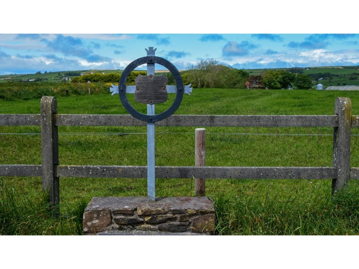
After passing a roadside monument to Denis Hegarty you will see a large ring fort on your right, adjacent to the ditch.
From this viewing point you might be able to pick out a Killeens burial ground in the field west of the farm yard below you. It is hard to believe that prior to the famine 1843 – 1847 there was 435 people living in the townlands of Barrys Hall Aghmainster and Spittal. In 1851 there were 163 people living in the same area, an interesting project for someone to find out how many are residing in these townlands in 2020.
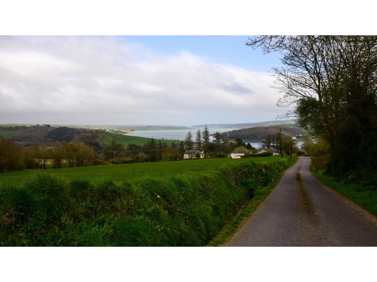
After a short distance we enter the townland of Ballincoursey, in the parish of Clonakilty (Baile an Chursaig – Courseys homestead). This family moved westward from the Kinsale area. Lovely views of Clonakilty bay can be seen on your left after you walk past a small cluster of houses. In a field to the south east of here there is a mound of earth and stones and this is all that remains of Templequinlan (Cloughgriffin) Castle, which is marked in medieval maps.
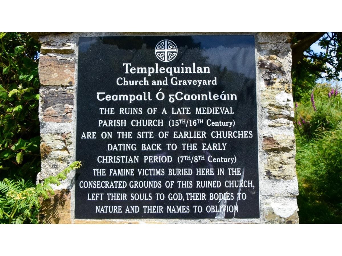
Not much is known of its history but local folklore claims that signals from both Timoleague Castle and Rathbarry Castle could be seen from its ramparts. We walk on for about a kilometre, on our right is the site of the ruined Templequinlan Church, which is situated in the townland of Cloughgriffin (Cloch Chriomhtain – Griffin’s stone house).
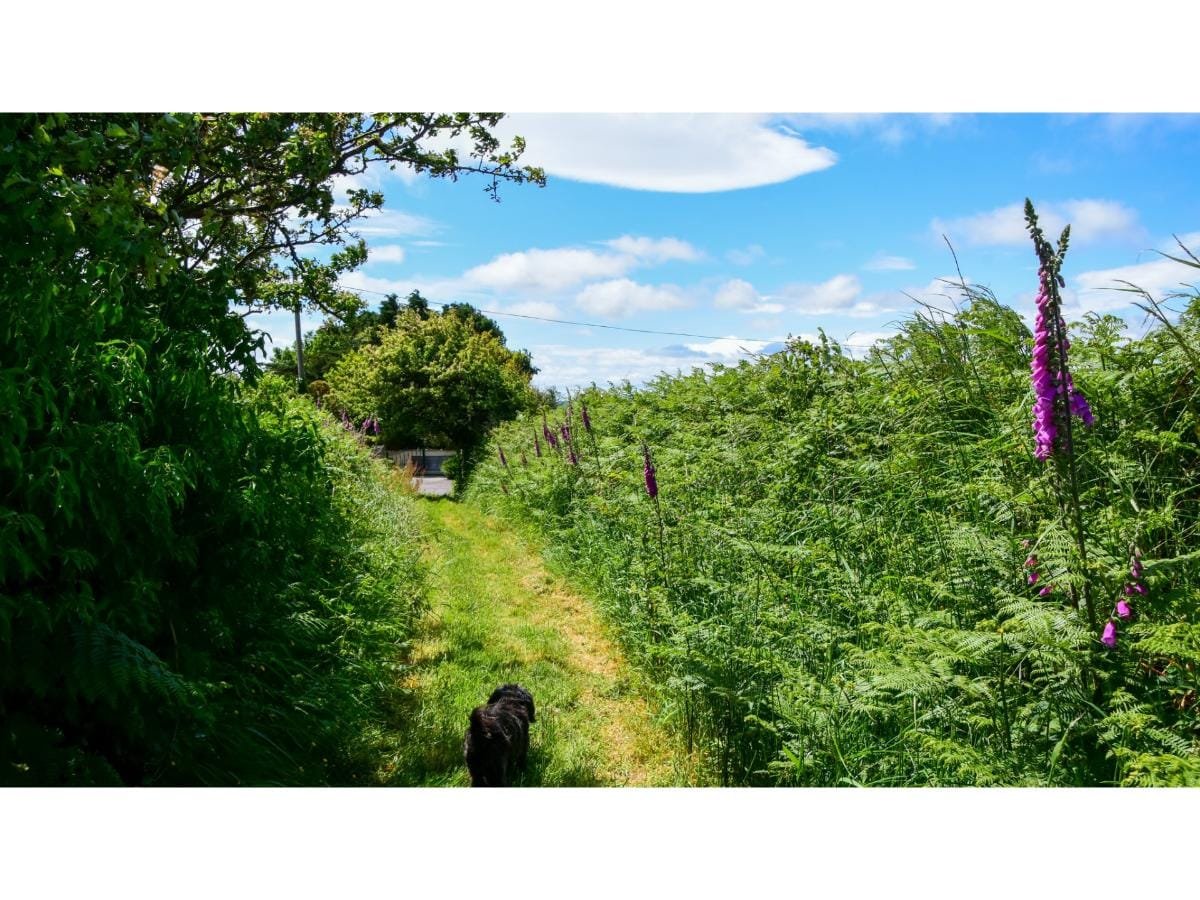
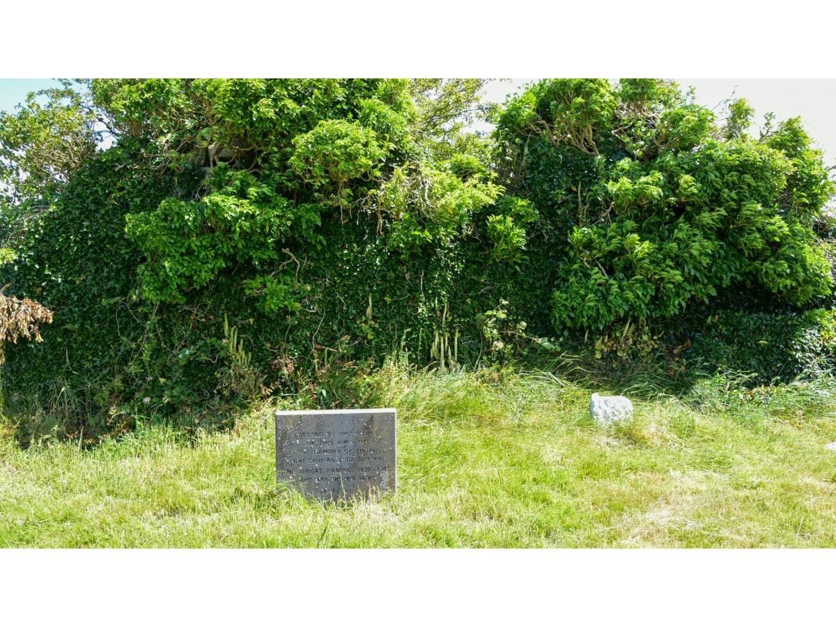
At the entrance to the church site is a recently erected name plate which was put there by a local group who wanted to see the site recognised. Beyond the gate is a short pathway which opens up to the graveyard and ruin.
This church and graveyard appears to have been the only church and graveyard that existed in the ancient and civil parish of Templequinlan. During the time of the famine, again local folklore tells us there was often a queue of people at the gate of the graveyard awaiting their turn to bury their dead.
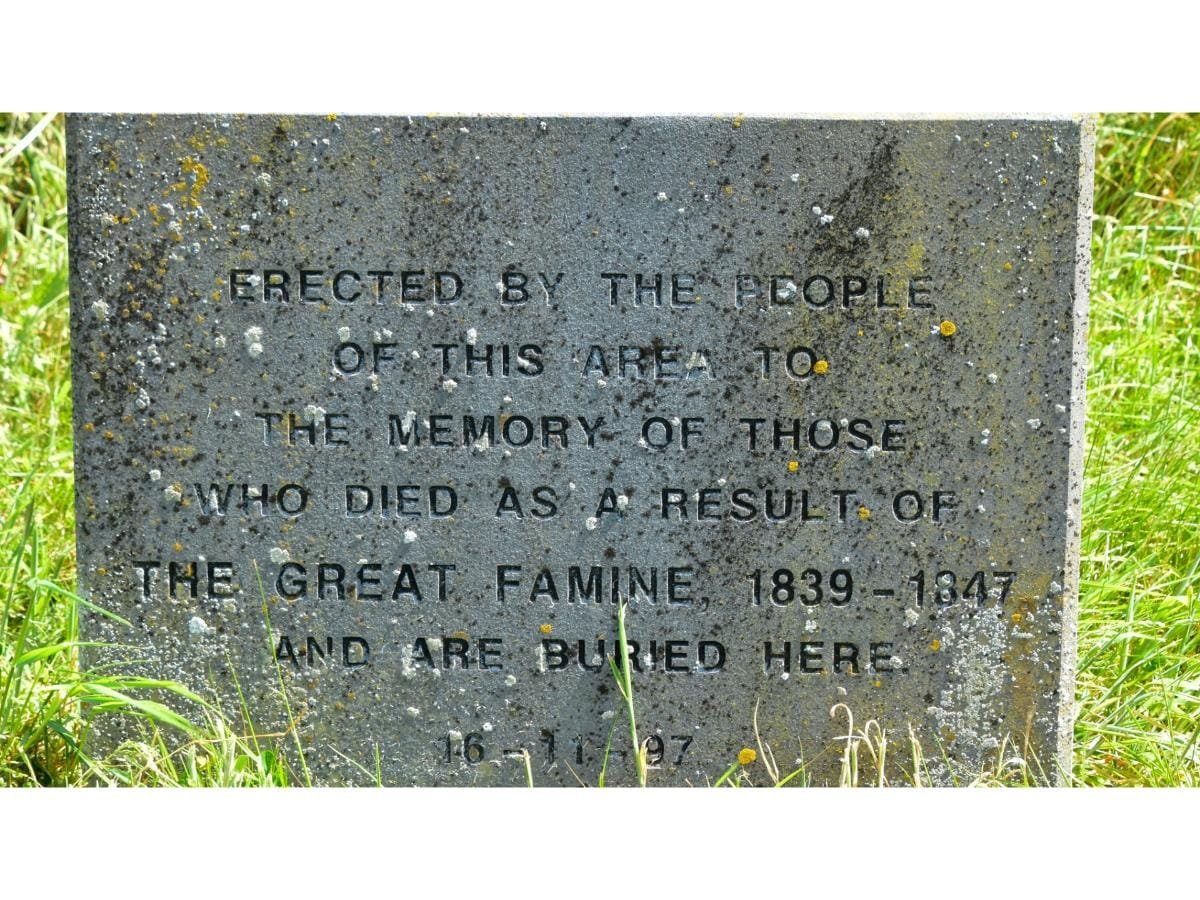
A memorial headstone stands at the western gable end in memory of the many people who died as a result of the Great Famine and were buried here. The only headstone which can be read is that of the aforementioned Denis Hegarty. Back onto the road and we head west for Clashfluck crossroads, which is equidistant on the main road between Clonakilty and Timoleague. We walk west on this main road, please be very careful whilst on this section of the road for approximately half a kilometre.
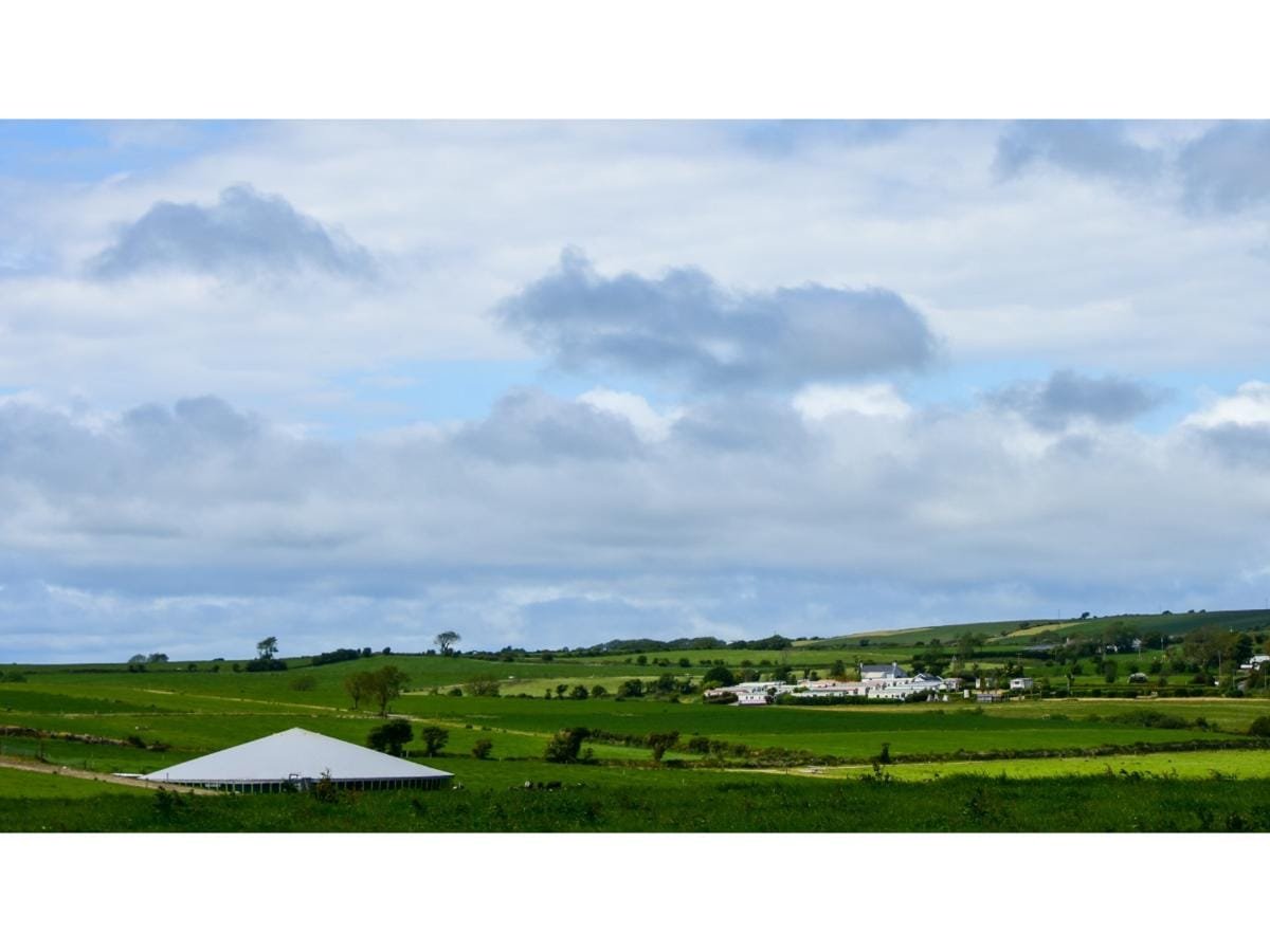
We take the first right turn and head in a northerly direction, in the townland of Ballinoroher,(Beal Ath an Urchair – Ford mouth of the charge or attack). After passing the farm buildings on your right you will see a windmill, which is in some poor repair at the present time.
This was erected at the end of WWII for the flow of water to the area. There is a plaque at the entrance gate which gives you more detail. We continue our walk on this lovely quiet road and a cross road comes up ahead of us with spectacular views to the north opens up. We take a right turn, up a slight hill and on your left you will see a very unusual structure, a stand-alone wall of stone and slate with nothing else near it. A beautiful structure.
Continuing along the Michael Collins Centre will be on your left, if open, you might like to take a break from your walk and browse inside. Spectacular views will be on your left as you continue on your journey and when you come to the area known as the Gub you have a choice of how to get back to Timoleague.
The shortest route is to your right back through the townlands of Carhue and Ardmore. Keep your eye out for the “red walker signs” to direct you. Taking your left you will walk for approximately two kilometres, when you will come to a crossroad. You can follow the “blue walker” sign and take a right turn which will bring you back through upper Killavarrig and onto Ardmore.
There is a little bit of climbing on this route, but once you reach the top the views of Courtmacsherry Bay are well worth the effort. You will descend down into the village of Timoleague via Chapel Hill and back to your car at the community centre where you can go to Centra for a well deserved ice-cream or drink.
How to find us
Contact Details